Showing 11 - 15 of 15 results
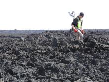
Western University (The University of Western Ontario)
Geologic interpretations of remote sensing data through ground truth data collection.
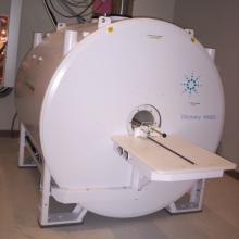
University of Ottawa
End-to-end experimental solutions to carry out animal studies requiring in vivo imaging
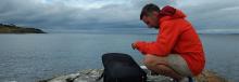
University of Ottawa
Mapping of aquatic environments using satellite data.
University of Ottawa
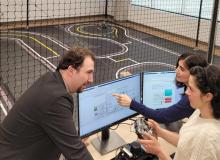
Research related to the connectivity, sustainability, and physical and cyber security of vehicles and networks.
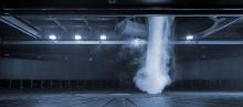
Western University (The University of Western Ontario)
Physical simulation of extreme winds (e.g. tornadoes, downbursts) and other complex flow fields coupled with state-of-the-art visualization and measurement techniques.