Showing 41 - 45 of 45 results
University of Ottawa
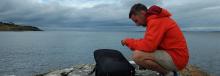
Mapping of aquatic environments using satellite data.
Western University (The University of Western Ontario)
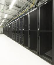
Infrastructure and services supporting computational research.
Image

Western University (The University of Western Ontario)
Physical simulation of extreme winds (e.g. tornadoes, downbursts) and other complex flow fields coupled with state-of-the-art visualization and measurement techniques.
Image
Carleton University
Environmental research of the hydrosphere and cryosphere